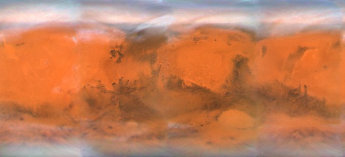
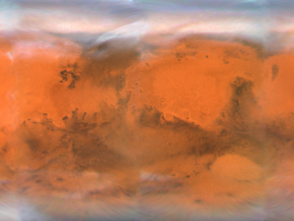
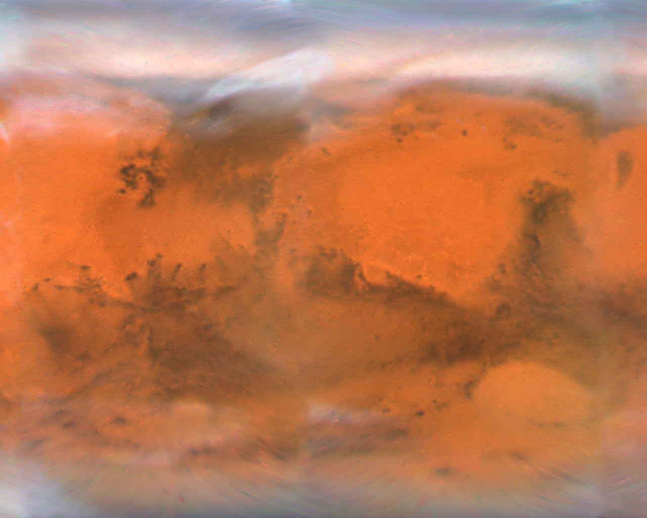
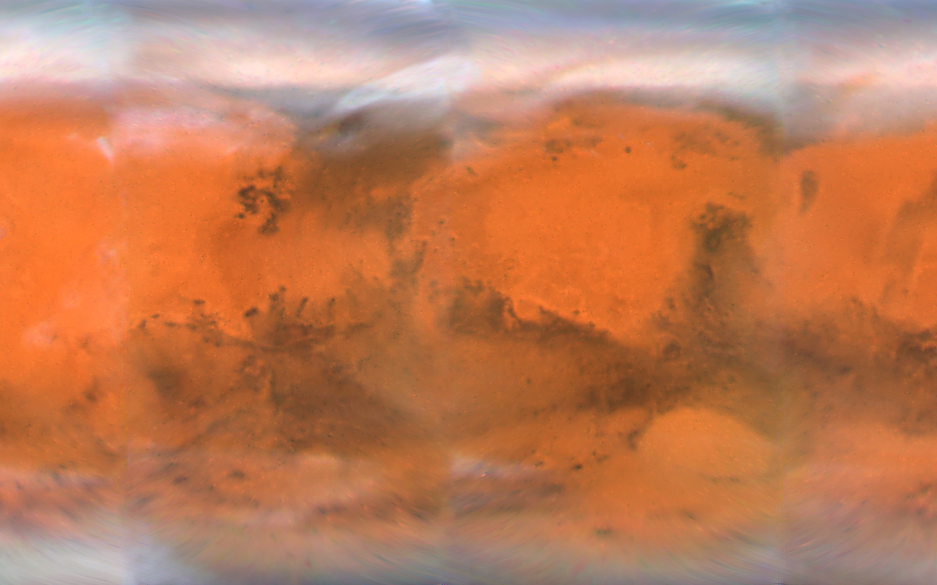
Mars Projection Map
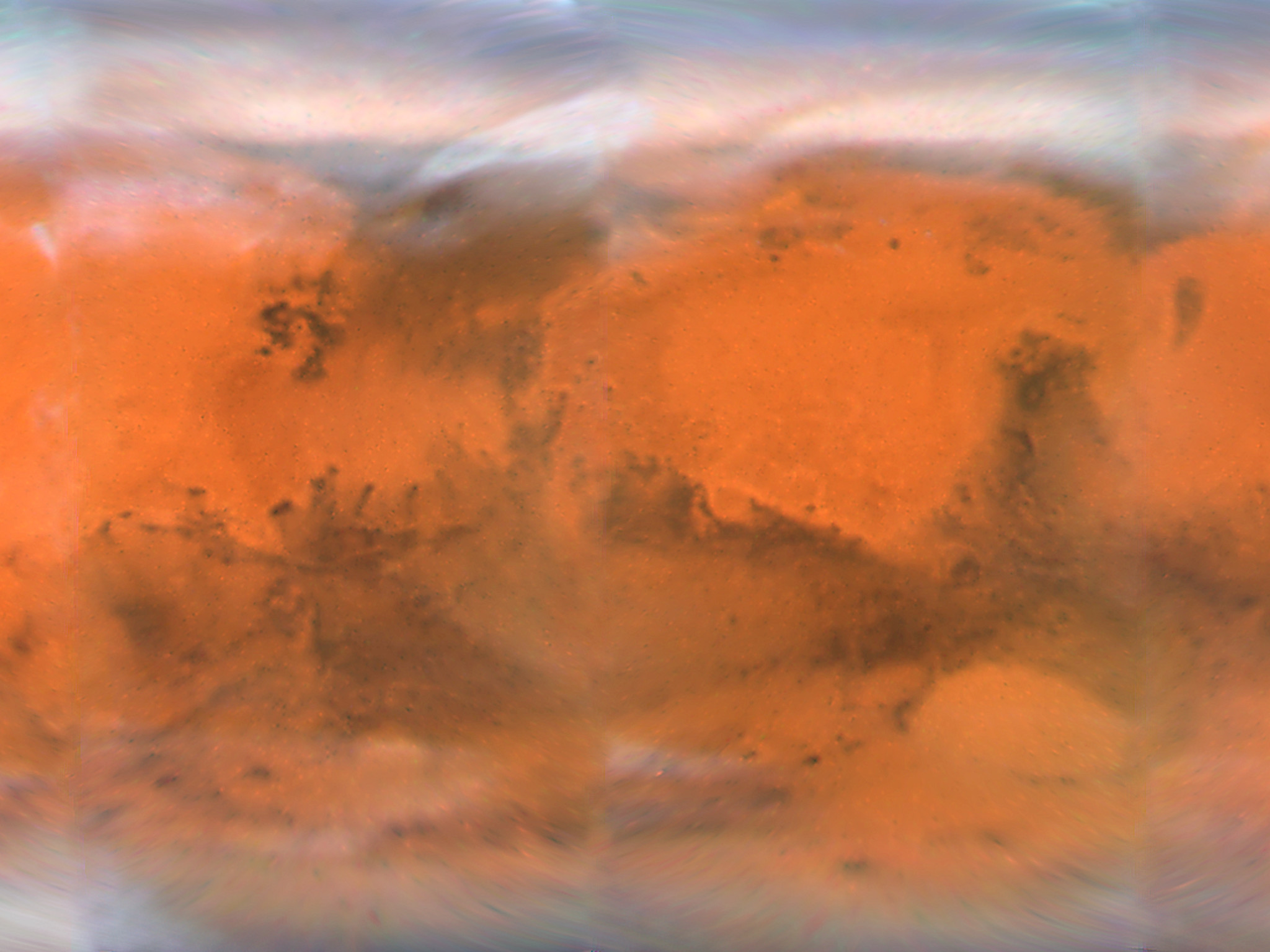
This map spans 360 degrees of Mars' surface, starting at a longitude line of 230 degrees on the left edge. It spans nearly to the north and south polar cap regions in Mars' latitude. This map is a composite of images taken with the Hubble Space Telescope's Wide Field Planetary Camera 2 in early December, just weeks before its December 18, 2007 closest approach.
Credit:NASA, ESA, the Hubble Heritage Team (STScI/AURA), J. Bell (Cornell University), and M. Wolff (Space Science Institute, Boulder)
Wallpapers
Colours & filters
| Band | Wavelength | Telescope |
|---|---|---|
| Optical B | 410 nm |
Hubble Space Telescope
WFPC2 |
| Optical V | 502 nm |
Hubble Space Telescope
WFPC2 |
| Optical R | 673 nm |
Hubble Space Telescope
WFPC2 |